|
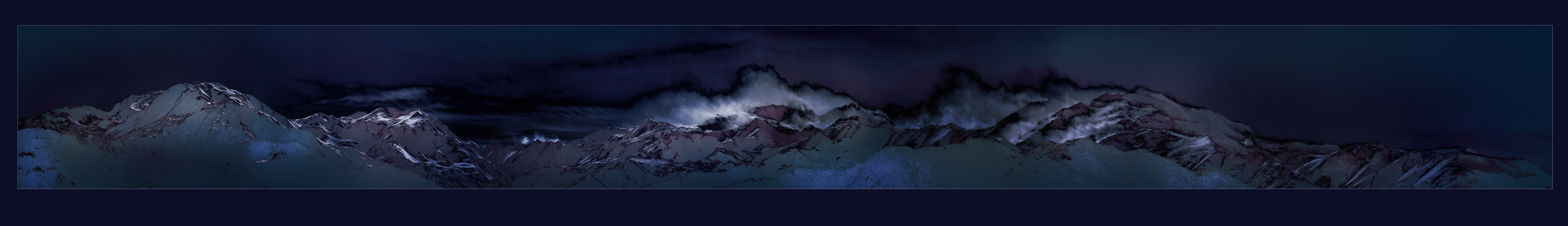
Cordillera Los Andes / Cerro El Plomo Panoramic view of Andes Mountains east from Santiago where El Plomo (Latitud: 33° 13' 58'' S Longitude: 70° 12' 44'' O) is the most prominent peak (5424m IGM) through which its multiple glaciers is the water source of Mapocho and Maipo river in the central valley. Appropriated by the Incas under the name of Apu, meaning guardian do to its massive façade. |